How GIS helps in Solar Energy Site Suitability and Analysis
As the world races toward clean energy solutions, solar energy has become one of the leading contenders in the renewable power space. However, identifying where to install a solar farm isn’t as simple as pointing to a sunny spot on the map. This is where GIS steps in. By analyzing terrain, land use patterns, proximity to infrastructure, and environmental constraints, GIS can solve the complex problem of solar site selection with data-backed precision.

GIS as the Analytical Backbone of Solar Energy Planning
GIS provides a spatial foundation for understanding both natural and man-made features of the earth’s surface. When it comes to solar energy, this includes analyzing elevation to avoid shadowing, studying land cover to avoid forests or wetlands, and checking proximity to transmission lines for feasible grid integration.
For example, a solar developer might avoid placing panels too close to residential zones or ecological hotspots. Instead, they’ll look for open, non-arable land near power grids and roads. GIS tools make this kind of multi-layered analysis possible, often within minutes.
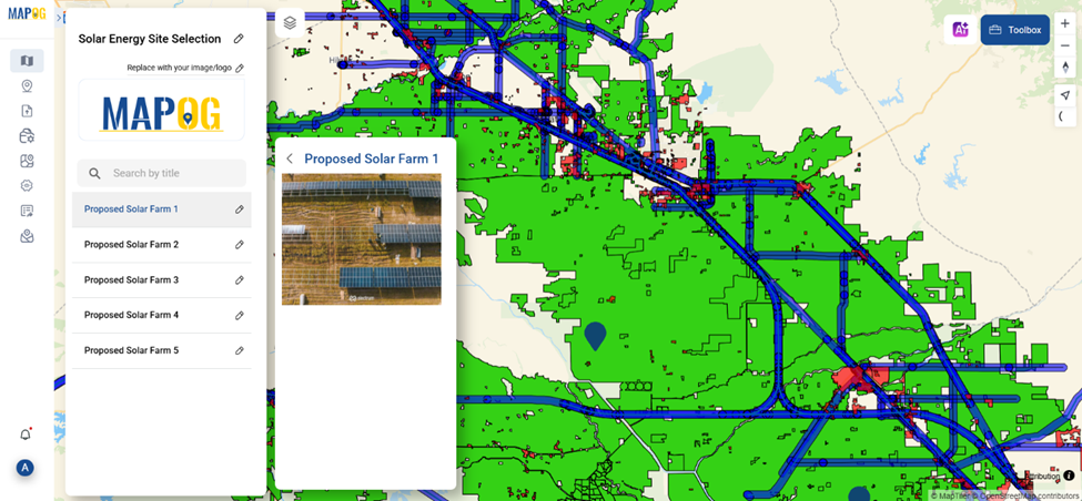
Many platforms now offer interactive map-building interfaces where users can layer datasets like farmland, railway corridors, or roadways. Some even let you create buffer zones—helpful in marking boundaries around protected land or critical infrastructure. Adding point markers can help propose potential solar farm locations, with annotations explaining why the area is ideal based on surrounding factors.
Who’s Benefiting from This Technology?
Across the globe, solar companies, government planning boards, environmental NGOs, and urban developers are using GIS for solar energy planning. Countries, public agencies and private firms alike are using GIS-based tools to meet renewable energy targets faster and smarter.
Utility-scale solar installations, in particular, rely heavily on GIS for identifying large tracts of suitable land that minimize land conflict while maximizing energy yield. Additionally, GIS supports impact assessment, helping developers ensure their projects don’t negatively affect surrounding communities or biodiversity.
A Modern Tool for Smarter Solar Siting
While there are many GIS tools available, some web-based platforms provide a seamless way to add layers like roads, residential areas, farms, and protected zones—all while allowing users to create buffers, draw on maps, and drop new location points. One such platform MAPOG makes it easier for professionals and students alike to simulate and plan solar farm placements visually. It doesn’t just aid in visualization but supports data-backed decision-making.

Whether you're a policymaker looking to support green infrastructure or an educator teaching sustainable planning, exploring spatial story-building platforms can provide real-world insight into solar energy analysis.
Conclusion:
The future of solar energy is bright—but only when it’s smartly planned. GIS gives us the tools to turn sprawling data into meaningful insights, helping us place solar farms where they’ll do the best, with the least harm. Try experimenting with mapping platforms that allow you to create grid-based overlays, spatial buffers, and proposed sites—you might just discover the perfect solar spot hiding in plain sight.

