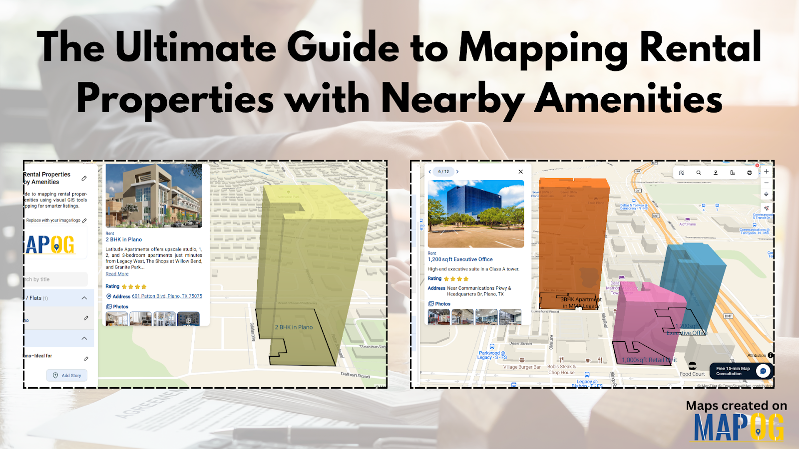
The Ultimate Guide to Mapping Rental Properties with Nearby Amenities
In a world where decisions about where to live or invest are becoming more data-driven, clarity and context matter more than ever. One recurring challenge in the real estate and rental industry is the lack of visual clarity—especially when potential tenants or investors want to understand not just a property’s features but also what surrounds it. Is there a school nearby? How far is the metro station? Is the area commercial, residential, or mixed-use? These are crucial questions—and traditional property listings often fall short in addressing them.
That's where location intelligence and spatial storytelling step in. Geographic Information Systems (GIS) have quietly revolutionized the way we understand space. By helping users visualize properties in relation to surrounding amenities, GIS mapping bridges the gap between raw data and real-world decision-making. The result? More informed choices, better urban planning, and a smoother renting or selling process.
Why GIS Mapping Matters for Rental Properties
In real estate, context is everything. You might have the perfect 2BHK flat, but if it's tucked away from essential services, it could be overlooked. GIS-based mapping helps visualize these layers—literally. With a grid, polygon, or point-based system, one can mark flats, villas, shops, plots, or office spaces, and surround them with layers indicating nearby schools, clinics, parks, and other key services.
This approach doesn't just serve landlords or agents; it benefits the entire real estate ecosystem. Urban planners can identify infrastructure gaps. Rental aggregators can use visual stories to attract digital-native renters. Local businesses can better understand footfall zones and customer clusters. And policymakers can monitor housing distribution or affordability in targeted regions.
From Visualizing Boundaries to Detailing Attributes
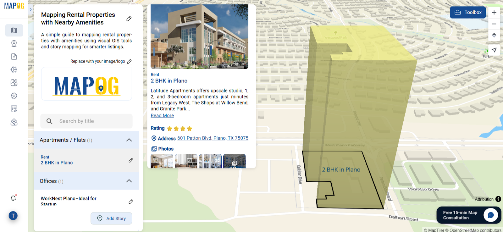
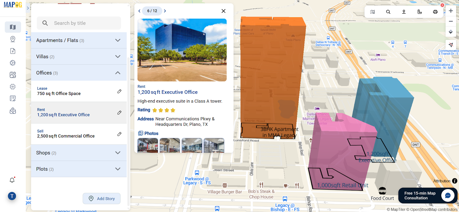
Modern mapping tools allow users to draw precise property boundaries using polygons. Each unit—whether a commercial space or a cozy villa—can be classified under its respective category. But that’s just the beginning. These boundaries can then be customized with color tags, height attributes, or status indicators like “Available,” “Occupied,” or “Upcoming.”
Beyond the visual, what brings the map to life is the layer of detailed information added to each feature. Users can insert images of rooms, write property descriptions, mention furnishing status, rent or lease amount, built-up area, or even room-wise photos. This not only brings transparency to listings but also turns maps into rich storytelling experiences.
Adding Amenities: The Game-Changer
Having a property pinned on a map is useful, but seeing the nearby hospital, school, or shopping complex just 300 meters away? That’s empowering. Some platforms make this possible by letting users draw a property boundary and attach nearby points of interest—complete with distance indicators.
This sort of spatial context is invaluable. For families, being close to good schools or parks could be the deciding factor. For working professionals, proximity to public transit or coworking hubs may tip the scales. Even for property managers or realtors, showcasing properties with this level of contextual data creates a far stronger pitch than plain text listings.
A Platform Worth Exploring
If you’re curious about how this kind of mapping works in real time, one intuitive platform worth exploring is MAPOG. Without needing technical GIS knowledge, it lets users draw property outlines, tag them under categories, add multimedia and structured attributes, and even highlight nearby amenities—all within an interactive interface. For anyone in real estate, rentals, or urban data analysis, it’s a handy way to visualize the full story of a place.
Final Thoughts
GIS-based mapping isn't just a digital trend—it’s becoming an essential asset in rental property analysis. From helping tenants choose homes to supporting investors and realtors with data-driven visuals, the use of geographic mapping brings new clarity to location-based decisions. As urban landscapes grow and competition rises, having access to such tools could be the difference between a listing being seen—or being ignored.


