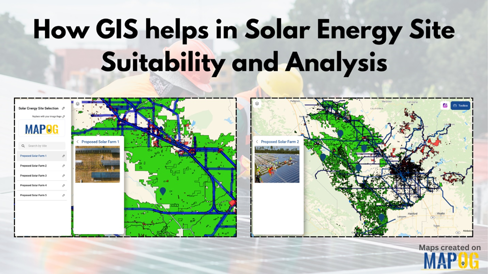
Share Your QGIS Projects as Interactive Web Maps in Minutes
Building maps inside QGIS is something many GIS professionals do every day. Sharing those projects, however, often becomes the difficult part. Sending project files, datasets, and instructions isn't always practical—especially when team members only need to view the results.

Make Your Maps Easier to Access
Interactive web maps solve this problem by allowing users to open a map in their browser, explore different layers, and view important information without installing GIS software.
This can benefit many industries, including:
Government departments
Engineering firms
Agriculture
Disaster management
Real estate
Academic research
Imagine an environmental consultant mapping water quality samples across multiple locations. Publishing the project as an interactive map allows clients to explore the results themselves instead of relying on static PDF reports.

Connecting QGIS with the Web
Many GIS platforms now offer plugins that connect desktop GIS with online mapping. A common workflow involves opening your QGIS project, using the plugin to log in, selecting the layers you want to publish, and uploading them to a web map. Some platforms also allow you to import web map data back into QGIS for additional editing.
For example, MAPOG provides a QGIS plugin that supports both publishing projects online and importing web-based maps back into QGIS, helping teams collaborate without changing their existing GIS workflow.

Final Thoughts
Interactive maps improve communication, simplify collaboration, and help more people understand geographic data. Instead of keeping projects on a local computer, consider publishing them so your audience can explore the information themselves.
#GIS #QGIS #WebGIS #InteractiveMaps #Mapping #SpatialAnalysis #GeoData #DigitalMaps